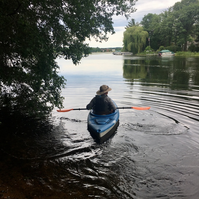
I started at the landing on the north edge of Rice Lake (off of 21 ½ Ave), where the Red Cedar enters the lake. There’s a small, unnoticeable current there. I started a path to the main lake, heading south.
As I set out across the lake, the peninsula in front of me had homes, some with flags flying high. Across on the far western bank of the lake there is an ugly institutional-looking building near (what I now know as) Indian Mounds Park. As I crossed the lake, I was happy for imperfect weather, for there were fewer speedboats than there would have otherwise been.
There is a concrete shoreline, wherever it seems to be ‘city’. Not the entire lake, but anywhere that there is ‘civilization’ it was there. I found it odd. Ryan said that it was put in before WWII. As I headed south, there was a small ‘beach’ that apparently no one goes to because the lake is kind of gross to swim in. It used to be a beach, but is now known as the “Beach Walk.’ Which maybe I found even weirder since it is not more than 100 feet long. There are flags on a pole behind it. The Elks lodge is an odd set of buildings to peer at as you paddle south. I paddled past the sawmill and dam, and then took out at the tree park south of the dam.
Since I was doing an adventure race, I got out and geocached a bit downtown, and then paddled north along the western shoreline. There were a few geocaches to get along the way and I would eventually make my way back to the landing I started at. North of the beach mentioned above is Veterans Park, with a playground, tennis courts, a shelter, a band shell and a veterans memorial. Across from this park is a small island with trees on it, and a covered picnic table. It is weird too – surrounded by the same concrete shoreline as the city.
Continuing north, I found my favorite street in all of Rice Lake – the street that parallels the lake north of Veterans Park has the artsiness of Bayfield, WI. The houses to the north were a strange mix of large and small. A brand-new modern home next to a tiny run-down house. Next to the homes was the Paul Bunyan Resort. Indian Mounds Park (which has no signage that you are about to cross burial grounds if you are coming across the water, which I did unknowingly) is next to the resort. Apparently, it is no longer a ‘park’ because the city has finally realized that it should be treated as a sacred burial ground, not a park. There was a homeless guy sleeping in the shelter, so I didn’t get the geocache I crossed the mounds for. The ‘park’ continues north, and there is ‘Wooly’ a mammoth, commemorating the Ice Age, and ‘Trusty Rusty’ a metal horse sculpture. Across the water from these is Scout Island, which has a sign stating as much – that it was donated to the city, and a scout troop used to camp there. People are welcome to explore it, but I decided against it, given the poison ivy on the shore. The park leads into Hospital Bay, where a hospital used to be located. The bay is full of water lilies. I dissected them a bit as I tried to maneuver my way through them. The white ones (American White Water-Lily – Nymphaea odorata) smell nice, it looked like little flies pollinated both white and yellow lilies. The yellow ones (Yellow Pond-Lily – Nuphar variegata) were not as nice smelling. The white ones were fun to watch, as they were waterproof under water – they would emerge, dry as can be, a bit plasticy or rubbery with their perfect white petals and yellow stamens, the pistil in the middle curled over to wait for the flies. I wondered what put the holes in a few petals; the old ones were browning, the pistil expanding impregnated while making a seed. The white water-lilies reminded me of lotus in Taiwan, indeed the leaves sometimes popped up out of the water like the lotus, when they were dense. They are hard to paddle through in the very back of the bay, but easy enough before they are very thick.
I headed back from Hospital Bay across the lake to the landing. It started raining. Depending on the direction I was facing, the angle of the rain hitting the water, the way the light from the sky hit it, it could just look like rain or… twinkles the water welcomed me. As the rain got harder, it looked more like rain, but when I turned back, the light and angle was right, and the twinkles still happened.
Flora and fauna of note on the lake: blue flag iris, ducks, great blue herons, green heron, frogs, fish and the water lilies.
Later in the day I went down the river south of town and saw many a great blue heron, a chipmunk and a raccoon on the shoreline.
Paddled June 20, 2020
Weather: on and off rainy, 60’s/70s
